Follow me +
  • Deutsch
  • English
  • Home
    • Project description
    • Latest news
  • Archaeological sites
    • By topics
    • On the map
  • Museums
  • Thematic Projects
    • EU Projects
    • Trails
  • Participants
  • Contact

ArchaeoRegion Südweststeiermark

  • Home
    • Project description
    • Latest news
  • Archaeological sites
    • By topics
    • On the Map
  • Museums
  • Thematic Projects
    • EU Projects
    • Trails
  • Participants
  • Contact

ArchaeoRegion Südweststeiermark

  • Home
    • Project description
    • Latest news
  • Archaeological sites
    • By topics
    • On the Map
  • Museums
  • Thematic Projects
    • EU Projects
    • Trails
  • Participants
  • Contact
Follow me +
    Castle
    Churches/Chapels
    Earth work/Barrage
    Hilltop settlement
    Industry
    Legal archaeology
    Roman settlement
    Roman stone
    Sanctuary
    Tumuli
    World Wars I and II
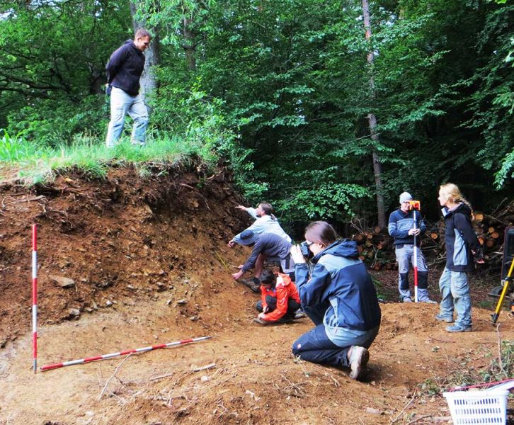
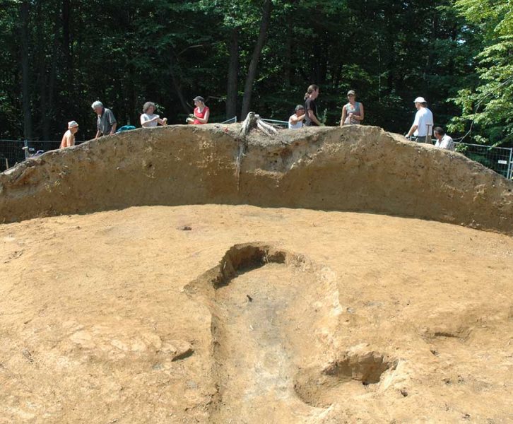
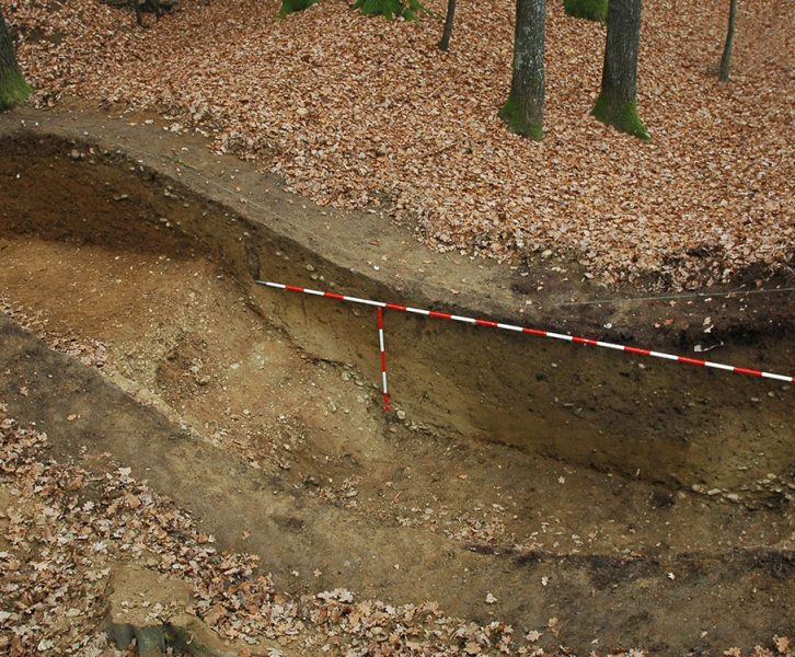
  • Profile of the rampart-ditch complex towards the south, excavation 2005 (© KPH/Ch. Gutjahr)
    Category: Earth work/Barrage

    The Teufelsgraben – an inland limes of late antiquity, still used today

    The Teufelsgraben (Devil’s Ditch) is a striking archaeological monument that extends over the entire Leibnitzer Feld and is still well preserved in some sections as a rampart-ditch complex. An excavation in 2005 by Kulturpark Hengist…
    Read more
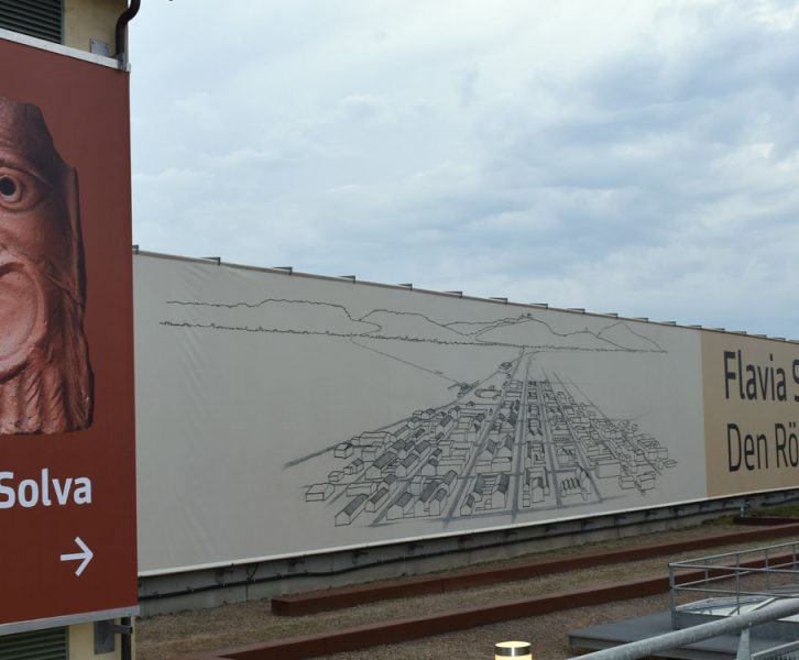
  • The archaeological site of Flavia Solva, redesigned in 2017 (© UMJ/ K. Peitler)
    Category: Roman settlement

    Flavia Solva

    Flavia Solva is the best known and most important Roman site in Styria. The only Roman city within the borders of the country can be considered in some respects as the first capital of Styria….

    Read more
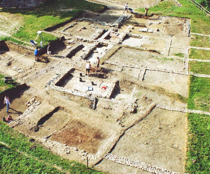
  • Overview photo of the excavated foundation walls in 2011 (© B. Schrettle / ASIST)
    Category: Roman settlement, Sanctuary

    Retznei: From Celtic farmstead to Roman spring sanctuary

    Retznei is located on the southern edge of Rosenberg hill, about 4 km south of Frauenberg hill and directly west of the Mur river. At this convenient location there was already a small village settlement…

    Read more
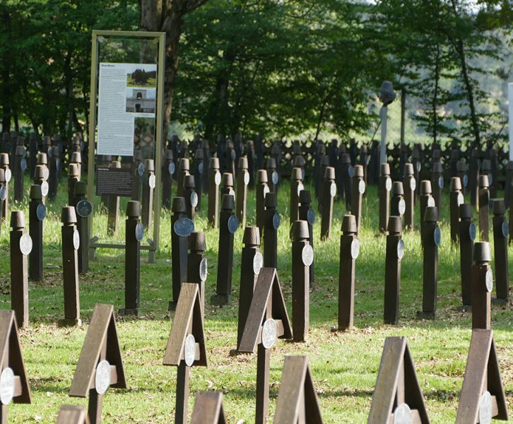
  • View of the rows of graves in the military cemetery. In the background the graves of the fallen of Muslim units with stylized fez (©KPH/G. Lassacher)
    Category: World Wars I and II

    Military camp Lebring and military cemetery Lang

    The military camp Lebring, built during the First World War, has disappeared almost without a trace. The military cemetery belonging to the camp on the territory of the neighboring municipality of Lang, however, is an…

    Read more
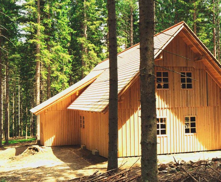
  • Museum and shelter building above the glass furnace (© Foto Augenblick)
    Category: Industry

    Museum “Waldglashütte” (Forest Glassworks) / Glaserwiese

    On the so-called “Glaserwiese” (glazier’s meadow) in Fallegg, not far from the Klugbauer, the uniquely preserved ruins of a former glassworks of the Augustinian Canons’ Monastery of Stainz extend at an altitude of 1125 m…

    Read more
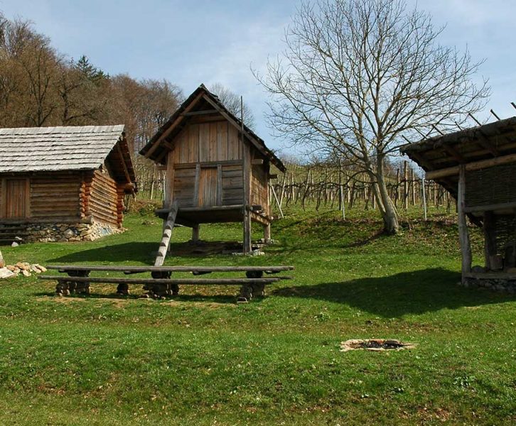
  • Hallstatt period farmstead on the Burgstallkogel (@ UMJ/M. Mele)
    Category: Hilltop settlement, Tumuli

    The Burgstallkogel near Grossklein and the Sulmtal Necropolis

    Burgstallkogel hill near Grossklein is one of the most prominent archaeological sites of the late Bronze Age and the Early Iron Age in Europe (9th-6th century B.C.). With almost 700 preserved burial mounds surrounding a…

    Read more
  • Excavation on the Königsberg near Heimschuh (©UMJ)
    Category: Hilltop settlement

    The Nestelberg or Königsberg hill near Heimschuh

    In the lower Sulm river valley not far from Heimschuh there is a long forgotten peak with an excellently preserved prehistoric settlement, the so-called Nestelberg or Königsberg. This narrow point of the Sulm river valley…

    Read more
  • The northern half of the exposed Tumulus 1 on the Bubenberg with the excavation team (© UMJ)
    Category: Hilltop settlement

    The Bubenberg near Spielfeld

    The Bubenberg (or Hoar[r]achkogel) hill near Spielfeld is a low ridge in the south of Styria, directly on the border with Slovenia. Archaeological research has proven that the area was used in the Copper, Bronze…

    Read more
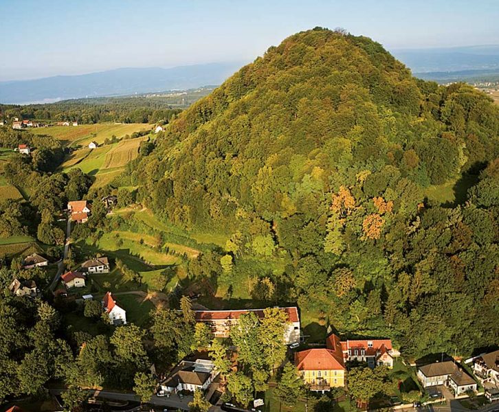
  • The Wildon Schlossberg from the west (© Pixelmaker/R. Sommerauer)
    Category: Castle, Hilltop settlement

    The Wildon Schlossberg – a strategic key site

    The Wildon Schlossberg hill, with its almost continuous settlement activity, spanning more than 6,500 years, represents a unique finding-place in the southeastern Alpine region. In the 10th and 11th centuries, the Hengistburg castle, located on…

    Read more
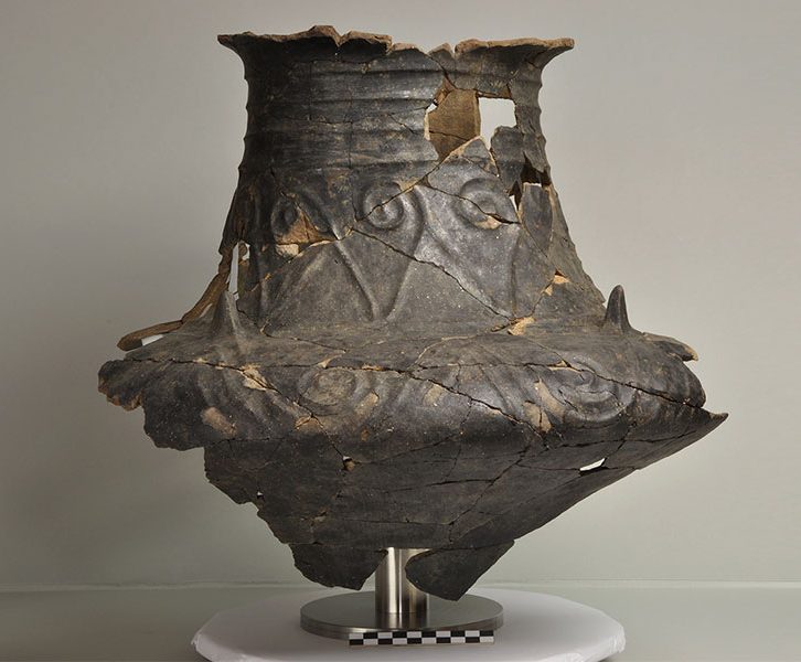
  • Vessel with cone-shaped neck and Basarabi decoration (© KPH/R. Fürhacker)
    Category: Tumuli

    Tumulus cemetery – Buchkogel/northern slope

    Although it has never been hidden, the Hallstatt-period barrow cemetery Buchkogel/northern slope in Unterhaus near Wildon has been known to official Styrian archaeology only since the 1980s. During an excavation in 2006/07 in mound no….

    Read more
Older Posts
Newer Posts
Region StLREG Land Steiermark

Contact ArchaeoRegion

ArchaeoRegion Southwest Styria

Regionalmanagement Südweststeiermark GmbH
Grottenhof 1
8430 Leibnitz

phone: +43 3452 84510
fax: +43 3452 84510-30
office@rmsw.at
follow us on: Facebook

Project ArchaeoRegion

The regional archaeology initiatives of southwestern Styria joined forces in 2019 and have been acting together ever since.

Their goal, in addition to research and protection, is to make the archaeological heritage visible to the public.

PDF Download

© 2021 ArchaeoRegion Southwest Styria | IMPRINT | PRIVACY POLICY