In the lower Sulm river valley not far from Heimschuh there is a long forgotten peak with an excellently preserved prehistoric settlement, the so-called Nestelberg or Königsberg.
This narrow point of the Sulm river valley has always been considered the key point for controlling access from the Mur river valley into the Sulm and Saggau river valleys. The full extent of the settlement with a core area and an outer castle, both fortified with earthen ramparts, was only recognized by aerial scans. Excavations in 2016 and 2017 confirmed an extensive Late Bronze Age settlement with subsequent use in the Early Iron Age.
In 2016, the Archaeology and Coin Cabinet Department of the Joanneum Universal Museum started a research project entitled “The Königsberg near Heimschuh – a prehistoric fortress above the Sulm River.” The settlement site on the Nestelberg (“Königsberg”) near Heimschuh had been known for some time through initial excavations in the 1960s, but had not been scientifically explored. Through geophysical surveys, archaeological excavations and archaeobotanical investigations new knowledge about the prehistoric settlement of the Sulm river valley could be gained.
ALS data from GIS-Steiermark provided a clear insight into the structure of the settlement. It can be divided into two areas, which are divided by a mighty earthen wall: the core settlement area on the hill plateau and the outer castle on the shallow northern slope in the direction of the Sulm river loop. The outer bailey was also equipped with a protective barrier by earthworks, which is particularly well developed to the north in the direction of the river. The geophysical surveys showed intensive settlement within the earthen rampart and its multiphase construction.
In August 2016, a first review excavation was carried out in the area of the outer bailey on the Königsberg. Sections were selected to verify different types of geophysical anomalies. The sections inside the outer bailey revealed cultural layers, post settings, and a hearth. The section through the rampart of the outer bailey revealed a massive stone settings built in the core of the earthen rampart.
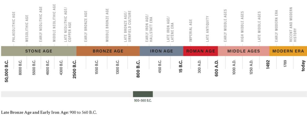
The goal of the 2017 investigations was to verify additional geomagnetic anomalies in the outer bailey as well as the construction of the rampart between the central plateau of the site and the outer bailey. The excavation at the inner rampart revealed four phases of occupation. Under the humus a continuous, partly massive younger rampart fill of stones and sand could be found. It was strongly altered by erosion processes after the abandonment of the settlement and overlapped the Hallstatt period hearth. The Hallstatt period use of the area was confirmed by a radiocarbon-dated hearth. Whether the fireplace can be associated with the construction of the second rampart embankment could not be clearly determined. In any case, it was covered by the fill after the rampart was abandoned. Between the older and the younger embankment fill there was a burnt layer, which could be clearly dated to the Late Bronze Age. The first embankment fill as well as the ditch, the pits, plug holes and post holes, which are part of the embankment construction or indications of a settlement of the inner area, date to the Late Bronze Age. Presumably, the ditch in the inner area of the plateau was located in front of the rampart, which cuts into the geological subsoil. Using C14 dating of charcoal from the 2017 excavation, a date between 1000 and 800 B.C. could be determined for the burnt layer and a phase of use between 800 and 400 B.C., more likely 600-400 B.C., for the hearth.
Samples from both excavations were floated and examined for archaeobotanical studies. Despite the small number of samples, the range of cultivated plants is astoundingly diverse; in terms of cereals, it includes mainly grains of foxtail millet (Setaria italica), almost all of which come from the hearth site. There is also evidence of true millet/panicle millet (Panicum miliaceum), a naked wheat (Triticum aestivum s.l./durum/turgidum), emmer or spelt (Triticum dicoccum/spelta), and barley (Hordeum vulgare). Seeds of legumes have also been documented, of which only lentil (Lens culinaris) has been identified with certainty. The majority of the wild plant finds originated from field weeds, as they occur primarily in root crops and summer cereals. They probably got into the settlement unintentionally with the harvested material. On the other hand, the evidence of hazelnut (Corylus avellana), cinquefoil/strawberry (Potentilla/Fragaria), blackthorn (Prunus spinosa), and raspberry (Rubus idaeus), with which the Urnfield diet was supplemented, comes from collected wild fruit.
Text: Dr. Marko Mele