Flavia Solva is the best known and most important Roman site in Styria. The only Roman city within the borders of the country can be considered in some respects as the first capital of Styria. The settlement was granted city rights by Emperor Vespasian in 70 A.D. Like many “greenfield” settlements of antiquity, Solva was a “drawing board city” with straight streets intersecting at right angles and uniformly laid out blocks of houses. There has never been anything comparable in Styria.
Flavia Solva is located in the southeast of the province of Noricum, on the western bank of the Mur river, in the Leibnitz basin. The territory of the city, whose boundaries still could not be reliably clarified, was enclosed by mountains to the south, west, north and northeast and open to the east and southeast; the main communication link was the road running along the Mur. From the traffic point of view Flavia Solva was situated far east of the course of the so-called Noric main road and north of the so-called Amber road. In close proximity to the predecessor settlement of the Latène period on the Frauenberg, which at least since the Bronze Age occupied the important intersection of the road running east-west through the Sulm river valley and the road through the Mur river valley, the location of Flavia Solva indirectly testifies to the loss of importance of the Sulm Valley and the upgrading of the traffic route along the Mur.
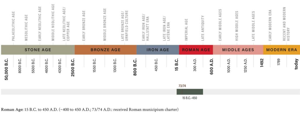
Flavia Solva is mentioned neither in the Tabula Peutingeriana nor in any known Roman itineraries. In ancient literature Flavia Solva is mentioned only once, by Pliny the Elder in his Natural History. We owe to this mention not only the chronological delimitation of the granting of city rights under Emperor Vespasian (69-79 A.D.), but also the definite assignment of the territory and the city to the province of Noricum. The localization of the town Flavia Solva in Wagna, mentioned by Pliny, was made on the basis of epigraphic evidence in 1848 by Richard Knabl.
The Municipium Flavia Solva
The extension of the town known today is about 650 m in north-south direction and about 450 m in east-west direction. In the east the city was limited by the river Mur, in the west by the cemeteries; the extension in the north and south is defined by geophysical surveys and excavations. The street width of 68 Roman feet was suggested as the basis of the orthogonal street grid, the insulae would correspond in width and length to twice and three times the street width, respectively, resulting in four sizes of house blocks. Flavia Solva had no city wall and no sewage system. Water was supplied by wells and cisterns, and sewage was disposed of in cesspools.
The origin of the amphitheater is placed in the first half of the 2nd century A.D. It was a construction made of stone and wood, with the spectators’ rows in wood. The amphitheater of Flavia Solva is still well recognizable in the terrain.
The cemeteries
Flavia Solva is the only municipium to which tumuli fields belonged. Four large cemeteries belong to the city: the cemetery “Altenmarkt,” which is located at the westernmost point, the two cemeteries “Spitalsgelände” (spital fields) and “Marburger Strasse” and the cemetery “Johann Maier Strasse,” located in the southwest. The oldest graves from the first half of the 1st century A.D. were located in the cemetery Marburger Strasse, on which, close to the Mur, also lies Insula XL, under which early wooden construction phases of the city could be discovered. On the road connecting Flavia Solva with Frauenberg hill was the cemetery Spitalsgelände, and on the road to the limestone quarries in Aflenz was the cemetery Johann Maier Strasse.
The smallest of the Solva cemeteries was located on Johann Maier Strasse. The most prominent finding of this cemetery is the so-called Kraberkogel hill, the burial structure of which is today located on the grounds of the archaeological open-air site in Wagna.
So-called fire brigade inscription from Flavia Solva
Kanius Dignus, Vibius Catussa, Claudius Leo: three inhabitants of Flavia Solva whose names are mentioned on the so-called fire brigade inscription. The inscription is the answer of the Emperor Septimius Severus, set in stone for public display, to the question of the governor of Noricum on how to proceed with the privileges for the members of the Centonarii Association. Due to tax concessions granted to the members of the association, the municipality of Flavia Solva lost important revenues, and so the municipal council turned to the governor of the province of Noricum with the request to cancel these privileges, because the members of the association, some of them very wealthy people, had apparently forgotten the mission of their charitable activity. This very important Roman stone was found in 1915, 1710 years after its installation, during excavations as a cover of a late antique heating channel.
Antefix
The antefix, a frontal brick in the shape of a theatrical mask, is the best known find from the excavations of the Joanneum in Flavia Solva, today’s Wagna near Leibnitz. Attached as a facing to the lowest row of semicircular deck tiles, an antefix was intended to prevent the view of rafters and purlins. It may have had additional ominous significance.
Text: Mag.a Dr.in Barbara Porod