The “Hengist Best of” project aims to attractively present, disseminate and enhance archaeological-historical knowledge about one of the most important cultural landscapes in Styria, the Hengist region around the Wildon Buchkogel hill. The overall goal is to strengthen the awareness of the cultural heritage of this region by improving knowledge about it.
The data collected in the course of the project, integrated into a geographic information system and systematically evaluated, formed the basis for a popular scientific guide to the archaeological sites and monuments and for updating the information boards along the cultural hiking trails of the Kulturpark Hengist. A video on the website of the Kulturpark Hengist provides information about the geographic information system.
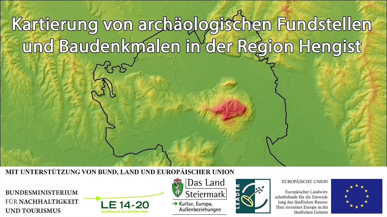
Work package 1: Archaeological-historical investigation of the area of the Kulturpark Hengi
The landscape- and settlement-archaeological survey of the Hengist region is based on a geographic information system (GIS) in which the following data sources were integrated: 1.) ALS data, digital land registry, Franciscan land registry and aerial photographs from 2004; 2.) Land cadastre and current aerial photographs via access to public GIS servers; 3.) Feature classes organized under themes such as archaeology, historic preservation, or history. A separate geodatabase was used to vectorize the Franciscan land registry. For an overview of this activity, a video was created and published on the website of the Kulturpark Hengist.
Work package 2: Geophysical prospections of 3 selected ground monuments
During the first half of the project, geophysical surveys were undertaken at three sites: Stangersdorf village (Roman villa), Tischlerhöhe plateau (prehistoric settlement) and Buchkogel hill (chalk fire station and execution site). The on-site investigations and evaluations have been completed. The action reports have been submitted to the Bundesdenkmalamt (National Heritage Agency) by the executing companies. The investigation areas with the geophysical objects were integrated into the GIS of the Kulturpark Hengist and evaluated in connection with the data available there.
Work package 3: Improvement of 17 archaeological information boards along the Hengist Culture Trail
17 selected information boards along the cultural hiking trails of the Kulturpark Hengist were redesigned based on the current state of research and on the new data from the GIS of the Kulturpark Hengist. Texts and illustrations were rewritten or newly created.
Work package 4: Printed guide to the 30 most important sites and cultural monuments of the Hengist region
The publication of a printed guide to the most important archaeological sites and monuments in the Hengist region was implemented. A total of more than 30 finding-places from prehistory to modern times were selected and described in chronological order in 26 chapters, individually and in summary, with the Wildon Schlossberg hill prominently in first place due to its history spanning the ages. The treatment of the sites was divided among the three main authors Christoph Gutjahr, Stephan Karl and Gernot Obersteiner, each according to their professional expertise: Prehistory, Roman Period, Medieval/Modern Period. In addition, Georg Tiefengraber (Wildon Schlossberg hill) and Hartmut Hiden (Geology) contributed articles. The 128-page guide was printed in an edition of 500 copies. It was presented for the first time by Christoph Gutjahr during the working meeting of the correspondents of the Provincial Historical Commission in Aigen im Ennstal in September 2018.
Am Dorfplatz 27
A-8410 Wildon-Weitendorf
T: +43 676 5521812
info@hengist.at
www.hengist.at
Text: Mag. Dr. Christoph Gutjahr, Mag. Dr. Stephan Karl